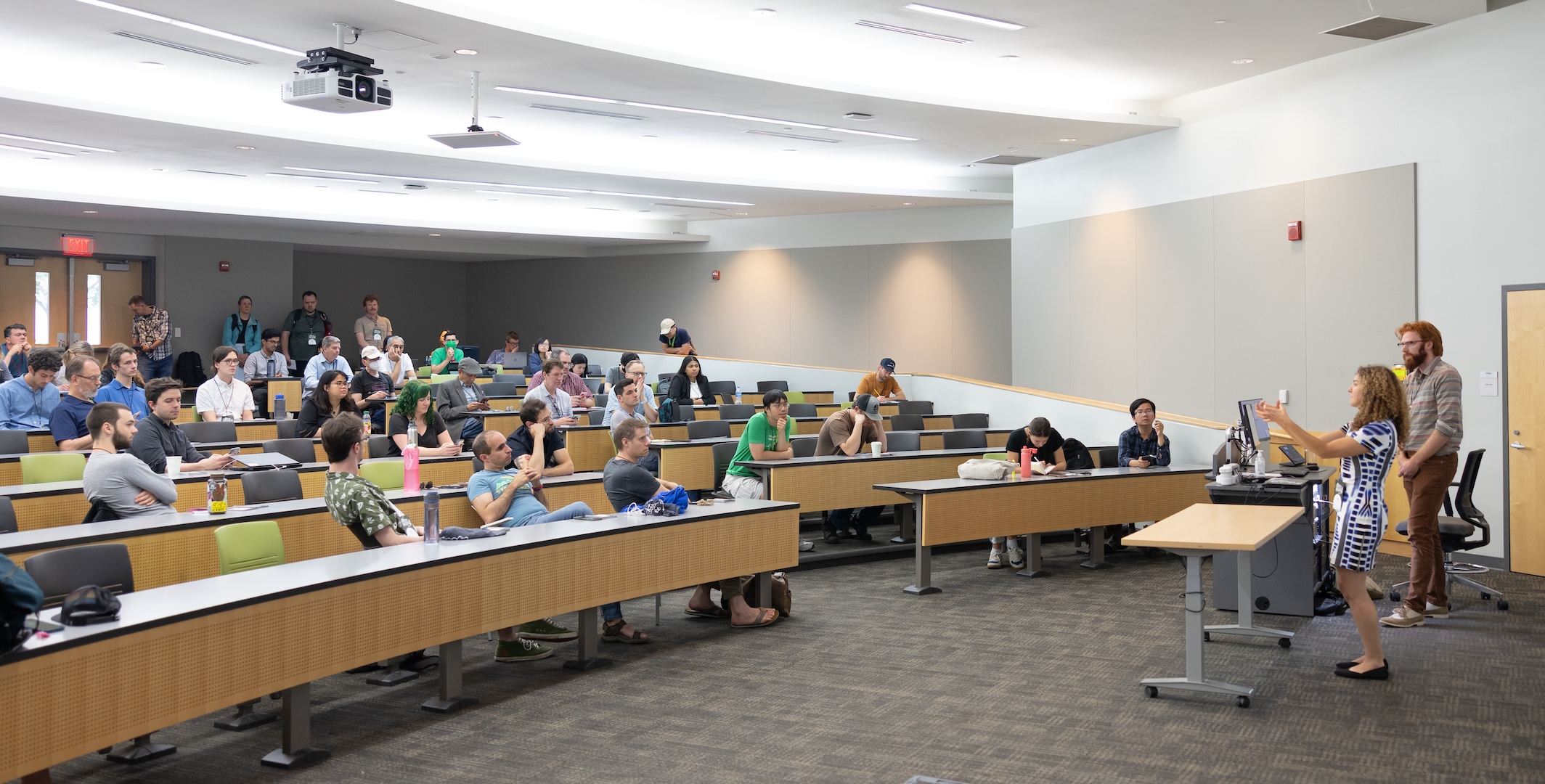
--- --- About OpenStreetMap US | OpenStreetMap US

About OpenStreetMap US

OpenStreetMap US is a US-based nonprofit working to support and grow OpenStreetMap, the free, open-source map of the world created by volunteers all over the globe, in the United States. Since 2020, OpenStreetMap US has been an official local chapter of the global OpenStreetMap Foundation.

We support the OpenStreetMap project in the United States through education, fostering awareness, ensuring broad availability of data, continuous quality improvement, and an active community.

OpenStreetMap gives ordinary citizens the power and the tools to create a high-quality feature-rich map of their country, their states, their communities and their neighborhoods.

Because the map data is free, anyone can use it to create maps for themselves, their businesses, their schools, their local governments or any other purpose they wish.

More than that, OpenStreetMap US is an organization anyone can join to connect with other mappers or institutional data users. Our members range from mapping enthusiasts who want to contribute their knowledge of their local communities to geodata experts who bring technical skills to the creation of the map and professional users who leverage OpenStreetMap data commercially.

Contact

Executive Director

Maggie Cawley is currently the full time Executive Director for OpenStreetMap US, based in Baltimore, Maryland working to support and grow OpenStreetMap US. She was a board member for two years and is part of the TeachOSM Steering Committee. With TeachOSM, she has developed curriculum around OSM and open source geospatial tools, and is a constant promoter of OSM into educational systems and processes. Her background includes work in urban planning, GIS analysis, project management, and field data collection.

Board of Directors

Minh Nguyễn (President) is a mapper, Wikipedian, and incurable roadgeek. He lives in San José, California, and works at Mapbox as a software engineer.

Daniela Waltersdorfer (Vice-President) is a Transportation Engineer/Planner at Cambridge Systematics (http://www.camsys.com/) and proud advocate of opensource data and spaces. She is from Lima, Peru, and currently resides in Washington D.C. with her dog, Milou.

Diane Fritz (At-Large) serves as the geospatial go-to for students and faculty at an academic library in Denver, Colorado. Her avocations can be described as “anything outdoors.”

Brian Sperlongano (Secretary) is a map hobbyist from North Kingstown, Rhode Island. He is an avid runner and hiker and enjoys mapping trails, protected areas, land cover and boundaries. His hobby projects include OpenStreetMap Americana, a public domain American-themed community map style, and StreetFerret, a tool for runners trying to run every street in their city.

Adam Franco (Treasurer) is an active hobbyist mapper from Middlebury, Vermont who enjoys mapping our highways and byways. Geography-related hobby projects include the Curvature program which analyzes the geometry of highways in the OpenStreetMap dataset to detect curves and rank each segment based on twistiness and contributions to OpenStreetMap Americana.

© OpenStreetMap US

Questions? email team@openstreetmap.us

Photos © Justin Miller unless otherwise noted